
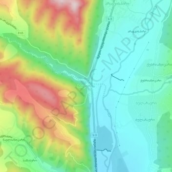
Bodorna topographic map
Interactive map
Click on the map to display elevation.
About this map
Name: Bodorna topographic map, elevation, terrain.
Location: Bodorna, Dusheti Municipality, Mtskheta-Mtianeti, Georgia (42.03701 44.72261 42.07701 44.76261)
Average elevation: 755 m
Minimum elevation: 620 m
Maximum elevation: 1,037 m