
Lawrence County topographic map
Interactive map
Click on the map to display elevation.
About this map
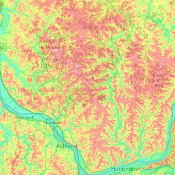
Name: Lawrence County topographic map, elevation, terrain.
Location: Lawrence County, Ohio, United States (38.40314 -82.81602 38.84885 -82.28734)
Average elevation: 225 m
Minimum elevation: 155 m
Maximum elevation: 314 m
Other topographic maps
Click on a map to view its topography, its elevation and its terrain.
Okey
United States > Ohio > Lawrence County
Okey, Mason Township, Lawrence County, Ohio, 45678, United States
Average elevation: 262 m