
Pinehurst topographic map
Interactive map
Click on the map to display elevation.
About this map
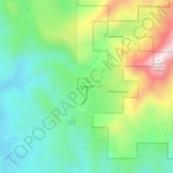
Name: Pinehurst topographic map, elevation, terrain.
Location: Pinehurst, Fresno County, California, 93641, USA (36.67523 -119.03650 36.71523 -118.99650)
Average elevation: 1,244 m
Minimum elevation: 999 m
Maximum elevation: 1,718 m