
Anjigami Lake topographic map
Interactive map
Click on the map to display elevation.
About this map
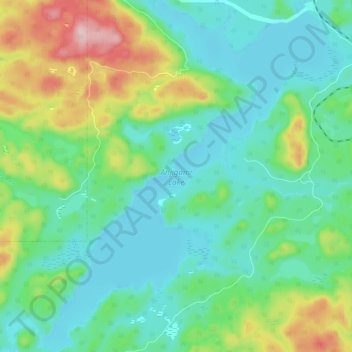
Name: Anjigami Lake topographic map, elevation, terrain.
Average elevation: 344 m
Minimum elevation: 282 m
Maximum elevation: 508 m
Other topographic maps
Click on a map to view its topography, its elevation and its terrain.
Monarch Lake
Canada > Ontario > Unorganized North Algoma
Monarch Lake, Unorganized North Algoma, Algoma District, Northeastern Ontario, Ontario, Canada
Average elevation: 446 m