
Chosan topographic map
Interactive map
Click on the map to display elevation.
About this map
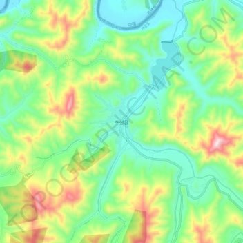
Name: Chosan topographic map, elevation, terrain.
Location: Chosan, Chosan County, Chagang, North Korea (40.79122 125.76530 40.87122 125.84530)
Average elevation: 270 m
Minimum elevation: 95 m
Maximum elevation: 622 m