
Nine Mile Burn topographic map
Interactive map
Click on the map to display elevation.
About this map
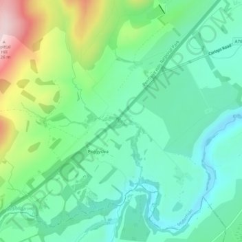
Name: Nine Mile Burn topographic map, elevation, terrain.
Location: Nine Mile Burn, Midlothian, Scotland, United Kingdom (55.80361 -3.31524 55.80585 -3.30804)
Average elevation: 302 m
Minimum elevation: 212 m
Maximum elevation: 524 m