
Innenstadt-West topographic map
Interactive map
Click on the map to display elevation.
About this map
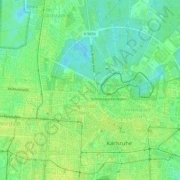
Name: Innenstadt-West topographic map, elevation, terrain.
Average elevation: 118 m
Minimum elevation: 109 m
Maximum elevation: 123 m
Other topographic maps
Click on a map to view its topography, its elevation and its terrain.
Durlach
Germany > Baden-Württemberg > Karlsruhe
Durlach, Karlsruhe, Baden-Württemberg, 76227, Germany
Average elevation: 158 m
Erlachsee
Germany > Baden-Württemberg > Karlsruhe > Durlach
Erlachsee, Hans-Gutjahr-Weg, Killisfeld, Durlach, Karlsruhe, Baden-Württemberg, 76199, Germany
Average elevation: 117 m