
Lake View Park topographic map
Interactive map
Click on the map to display elevation.
About this map
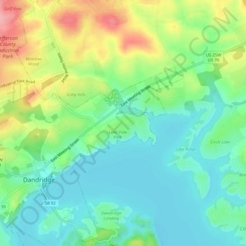
Name: Lake View Park topographic map, elevation, terrain.
Location: Lake View Park, Jefferson County, Tennessee, 37725, USA (36.00454 -83.41794 36.04454 -83.37794)
Average elevation: 329 m
Minimum elevation: 288 m
Maximum elevation: 410 m