
Verbuvata topographic map
Interactive map
Click on the map to display elevation.
About this map
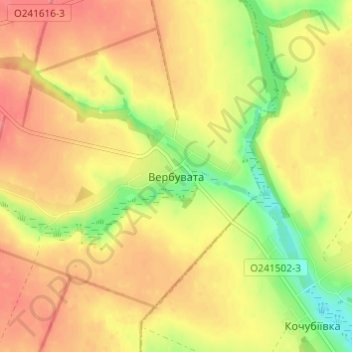
Name: Verbuvata topographic map, elevation, terrain.
Location: Verbuvata, Khrystynivka Raion, Cherkasy Oblast, 20020, Ukraine (48.80079 30.08412 48.84079 30.12412)
Average elevation: 223 m
Minimum elevation: 184 m
Maximum elevation: 248 m