
Carkeel Roundabout topographic map
Interactive map
Click on the map to display elevation.
About this map
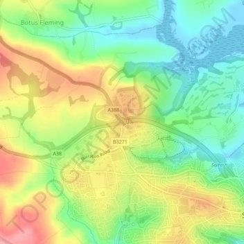
Name: Carkeel Roundabout topographic map, elevation, terrain.
Average elevation: 44 m
Minimum elevation: -2 m
Maximum elevation: 100 m
Other topographic maps
Click on a map to view its topography, its elevation and its terrain.
Trematon Castle
United Kingdom > England > Forder
Trematon Castle, Castle Hill, Latchbrook, Saltash, Forder, Cornwall, South West England, England, PL12 4QS, United Kingdom
Average elevation: 41 m