
Osiedle Muchobór Wielki topographic map
Interactive map
Click on the map to display elevation.
About this map
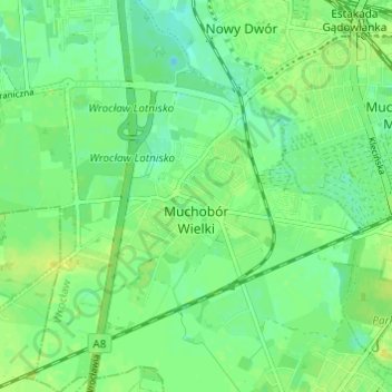
Name: Osiedle Muchobór Wielki topographic map, elevation, terrain.
Average elevation: 121 m
Minimum elevation: 112 m
Maximum elevation: 129 m
Other topographic maps
Click on a map to view its topography, its elevation and its terrain.
Wrocław
Poland > Lower Silesian Voivodeship > Wroclaw
Wrocław, Trzebnica County, Lower Silesian Voivodeship, Poland
Average elevation: 125 m