
Kulm am Zirbitz topographic map
Interactive map
Click on the map to display elevation.
About this map
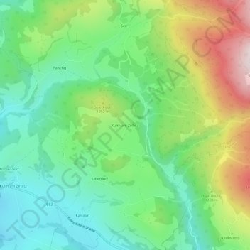
Name: Kulm am Zirbitz topographic map, elevation, terrain.
Location: Kulm am Zirbitz, Murau, Styria, 8822, Austria (47.03901 14.46696 47.07901 14.50696)
Average elevation: 1,149 m
Minimum elevation: 940 m
Maximum elevation: 1,545 m