
Haworth topographic map
Interactive map
Click on the map to display elevation.
About this map
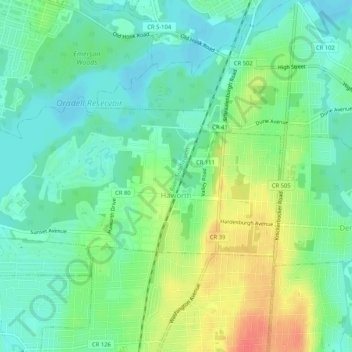
Name: Haworth topographic map, elevation, terrain.
Location: Haworth, Bergen County, New Jersey, 07641, United States (40.95412 -74.02658 40.97199 -73.97468)
Average elevation: 20 m
Minimum elevation: 2 m
Maximum elevation: 53 m