
Llyn Padarn topographic map
Interactive map
Click on the map to display elevation.
About this map
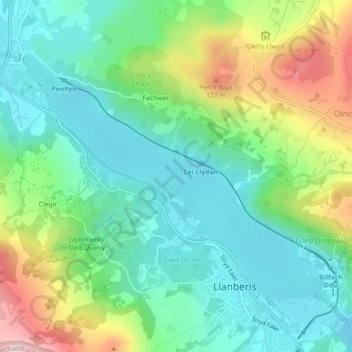
Name: Llyn Padarn topographic map, elevation, terrain.
Average elevation: 186 m
Minimum elevation: 93 m
Maximum elevation: 393 m
Other topographic maps
Click on a map to view its topography, its elevation and its terrain.
Llyn Peris
United Kingdom > Wales > Llanberis > Fachwen
Llyn Peris, A4086, Fachwen, Llanberis, Gwynedd, Wales, LL55 4UB, United Kingdom
Average elevation: 250 m