
Stone topographic map
Interactive map
Click on the map to display elevation.
About this map
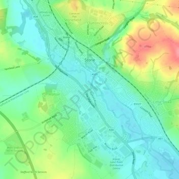
Name: Stone topographic map, elevation, terrain.
Location: Stone, Staffordshire, West Midlands, England, United Kingdom (52.87949 -2.16587 52.91520 -2.12017)
Average elevation: 107 m
Minimum elevation: 80 m
Maximum elevation: 162 m
Stone lies within the territory of the Iron Age Celtic tribe 'the cornovii' (people of the horn; perhaps a horned god or topographical feature) mentioned by Ptolemy 2nd century AD in Geographia. To the northwest of Stone lies one of their hill forts which overlooks the Trent and perhaps the salt production in the region.