
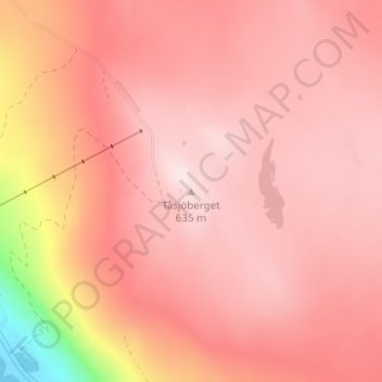
Tåsjöberget topographic map
Interactive map
Click on the map to display elevation.
About this map
Name: Tåsjöberget topographic map, elevation, terrain.
Average elevation: 548 m
Minimum elevation: 251 m
Maximum elevation: 639 m
Other topographic maps
Click on a map to view its topography, its elevation and its terrain.
Kyrktåsjö
Sweden > Jämtland County > Tåsjö District
Kyrktåsjö, Tåsjö District, Strömsunds kommun, Jämtland County, Sweden
Average elevation: 360 m