
Skogn topographic map
Interactive map
Click on the map to display elevation.
About this map
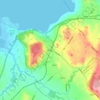
Name: Skogn topographic map, elevation, terrain.
Location: Skogn, Levanger, Trøndelag, 7620, Norway (63.68386 11.17240 63.72386 11.21240)
Average elevation: 40 m
Minimum elevation: -3 m
Maximum elevation: 136 m
Other topographic maps
Click on a map to view its topography, its elevation and its terrain.