
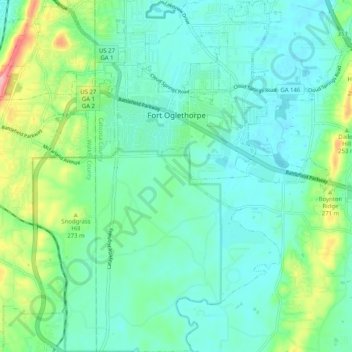
Fort Oglethorpe topographic map
Interactive map
Click on the map to display elevation.
About this map
Name: Fort Oglethorpe topographic map, elevation, terrain.
Location: Fort Oglethorpe, Catoosa County, Georgia, 30742, USA (34.89535 -85.28306 34.97850 -85.18850)
Average elevation: 236 m
Minimum elevation: 201 m
Maximum elevation: 351 m