
Peldon topographic map
Interactive map
Click on the map to display elevation.
About this map
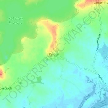
Name: Peldon topographic map, elevation, terrain.
Location: Peldon, Essex, East of England, England, CO5 7QH, United Kingdom (51.79221 0.86501 51.83221 0.90501)
Average elevation: 13 m
Minimum elevation: -2 m
Maximum elevation: 44 m