
Mahasthan Garh Ruins topographic map
Interactive map
Click on the map to display elevation.
About this map
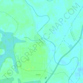
Name: Mahasthan Garh Ruins topographic map, elevation, terrain.
Average elevation: 20 m
Minimum elevation: 15 m
Maximum elevation: 25 m
Other topographic maps
Click on a map to view its topography, its elevation and its terrain.
Mahasthan
Bangladesh > Rajshahi Division > Bogura
Mahasthan, Bogura, Bogura District, Rajshahi Division, Bangladesh
Average elevation: 19 m
Bejora Moddhopara
Bangladesh > Rajshahi Division > Bogura
Bejora Moddhopara, Bogura, Bogura District, Rajshahi Division, 5800, Bangladesh
Average elevation: 20 m
Bogura
Bangladesh > Rajshahi Division > Bogura
Bogura, Bogura District, Rajshahi Division, 5800, Bangladesh
Average elevation: 18 m