
Dour topographic map
Interactive map
Click on the map to display elevation.
About this map
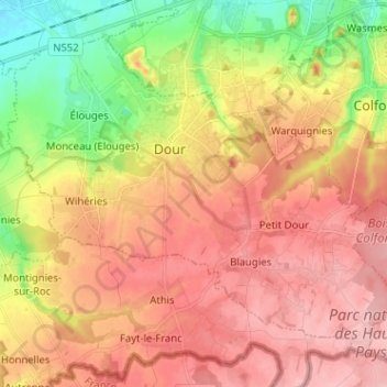
Name: Dour topographic map, elevation, terrain.
Location: Dour, Hainaut, Wallonie, 7370, Belgique (50.35319 3.72501 50.42062 3.85254)
Average elevation: 96 m
Minimum elevation: 23 m
Maximum elevation: 149 m