
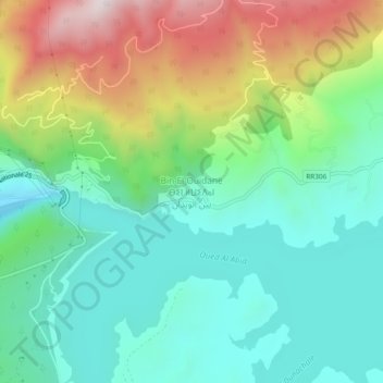
Bin El Ouidane ⴱⵉⵏ ⵍⵡⵉⴷⴰⵏ بين الويدان topographic map
Interactive map
Click on the map to display elevation.
About this map
Name: Bin El Ouidane ⴱⵉⵏ ⵍⵡⵉⴷⴰⵏ بين الويدان topographic map, elevation, terrain.
Average elevation: 967 m
Minimum elevation: 712 m
Maximum elevation: 1,504 m