
Farasan Island topographic map
Interactive map
Click on the map to display elevation.
About this map
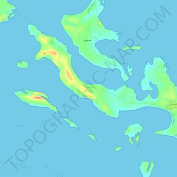
Name: Farasan Island topographic map, elevation, terrain.
Location: Farasan Island, Farasan, Jazan Province, Saudi Arabia (16.58182 41.75493 16.89398 42.19772)
Average elevation: 3 m
Minimum elevation: -2 m
Maximum elevation: 61 m
Other topographic maps
Click on a map to view its topography, its elevation and its terrain.