
Fort Benning topographic map
Interactive map
Click on the map to display elevation.
About this map
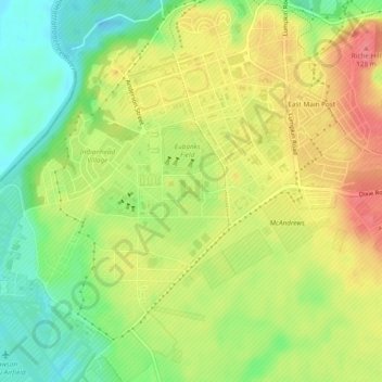
Name: Fort Benning topographic map, elevation, terrain.
Location: Fort Benning, Chattahoochee County, Georgia, 31905, USA (32.33237 -84.98882 32.37237 -84.94882)
Average elevation: 95 m
Minimum elevation: 58 m
Maximum elevation: 131 m