
Salang topographic map
Interactive map
Click on the map to display elevation.
About this map
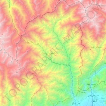
Name: Salang topographic map, elevation, terrain.
Location: Salang, Parwan Province, Afghanistan (35.11262 69.01680 35.42101 69.27534)
Average elevation: 3,083 m
Minimum elevation: 1,541 m
Maximum elevation: 4,785 m