
Hockley topographic map
Interactive map
Click on the map to display elevation.
About this map
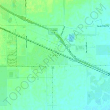
Name: Hockley topographic map, elevation, terrain.
Location: Hockley, Harris County, Texas, 77240, United States (30.00582 -95.86521 30.04582 -95.82521)
Average elevation: 68 m
Minimum elevation: 62 m
Maximum elevation: 74 m