
Warren County topographic map
Interactive map
Click on the map to display elevation.
About this map
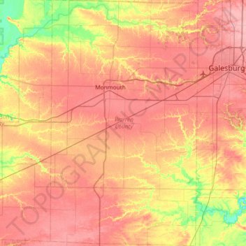
Name: Warren County topographic map, elevation, terrain.
Location: Warren County, Illinois, United States (40.62765 -90.78958 41.06883 -90.43948)
Average elevation: 218 m
Minimum elevation: 165 m
Maximum elevation: 254 m
Other topographic maps
Click on a map to view its topography, its elevation and its terrain.
Monmouth
United States > Illinois > Warren County
Monmouth, Warren County, Illinois, 61462, United States
Average elevation: 232 m