
Raby Castle topographic map
Interactive map
Click on the map to display elevation.
About this map
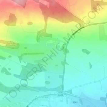
Name: Raby Castle topographic map, elevation, terrain.
Average elevation: 148 m
Minimum elevation: 98 m
Maximum elevation: 248 m
Other topographic maps
Click on a map to view its topography, its elevation and its terrain.
Staindrop
United Kingdom > England > Staindrop
Staindrop, County Durham, North East England, England, DL2 3XB, United Kingdom
Average elevation: 132 m