
Midway Island topographic map
Interactive map
Click on the map to display elevation.
About this map
Name: Midway Island topographic map, elevation, terrain.
Average elevation: 107 m
Minimum elevation: -1 m
Maximum elevation: 637 m
Other topographic maps
Click on a map to view its topography, its elevation and its terrain.
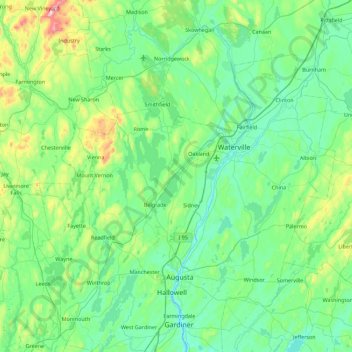
Graveyard
United States > Maine > Kennebec County > Belgrade
Graveyard, Belgrade, Kennebec County, Maine, United States
Average elevation: 87 m