
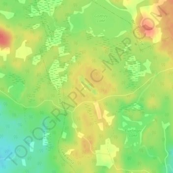
Little Long Lake topographic map
Interactive map
Click on the map to display elevation.
About this map
Name: Little Long Lake topographic map, elevation, terrain.
Average elevation: 235 m
Minimum elevation: 208 m
Maximum elevation: 257 m
Other topographic maps
Click on a map to view its topography, its elevation and its terrain.
West Dalhousie
Canada > Nova Scotia > West Dalhousie
West Dalhousie, Municipality of the County of Annapolis, Annapolis County, Nova Scotia, B0S 1A0, Canada
Average elevation: 189 m