
New Valley topographic map
Interactive map
Click on the map to display elevation.
About this map
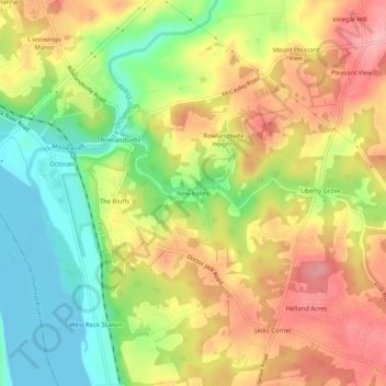
Name: New Valley topographic map, elevation, terrain.
Location: New Valley, Cecil County, Maryland, 21918, United States (39.63566 -76.15717 39.67566 -76.11717)
Average elevation: 64 m
Minimum elevation: 0 m
Maximum elevation: 126 m