
Hochschwab topographic map
Interactive map
Click on the map to display elevation.
About this map
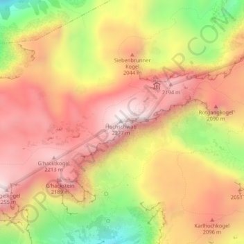
Name: Hochschwab topographic map, elevation, terrain.
Location: Hochschwab, Thörl, Bruck-Mürzzuschlag, Styria, 8621, Austria (47.61805 15.14264 47.61815 15.14274)
Average elevation: 1,932 m
Minimum elevation: 1,448 m
Maximum elevation: 2,257 m