
Mabura topographic map
Interactive map
Click on the map to display elevation.
About this map
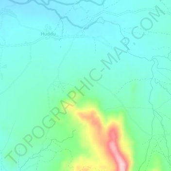
Name: Mabura topographic map, elevation, terrain.
Location: Mabura, Mubi North, Adamawa, Nigeria (10.18000 13.18000 10.22000 13.22000)
Average elevation: 585 m
Minimum elevation: 534 m
Maximum elevation: 775 m