
Doi Suthep topographic map
Interactive map
Click on the map to display elevation.
Doi Suthep
Doi Suthep (ดอยสุเทพ), is a mountain ("doi") west of Chiang Mai, Thailand. It is 1,676 metres (5,499 ft) in elevation and is one of the twin peaks of a granite mountain. The other peak is known as Doi Pui and is slightly higher (1,685 metres (5,528 ft)).
About this map
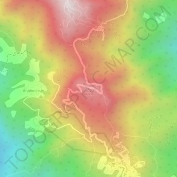
Name: Doi Suthep topographic map, elevation, terrain.
Average elevation: 1,351 m
Minimum elevation: 983 m
Maximum elevation: 1,660 m