
Gihon River topographic map
Interactive map
Click on the map to display elevation.
About this map
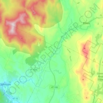
Name: Gihon River topographic map, elevation, terrain.
Location: Gihon River, Hyde Park, Lamoille County, Vermont, 05665, USA (44.63195 -72.68531 44.71569 -72.51490)
Average elevation: 375 m
Minimum elevation: 144 m
Maximum elevation: 814 m