
LeConte Glacier topographic map
Interactive map
Click on the map to display elevation.
About this map
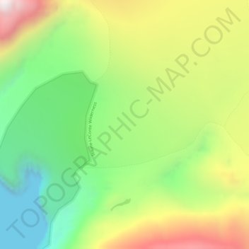
Name: LeConte Glacier topographic map, elevation, terrain.
Location: LeConte Glacier, Petersburg Borough, Alaska, United States (56.83635 -132.35081 56.83645 -132.35071)
Average elevation: 407 m
Minimum elevation: 0 m
Maximum elevation: 968 m
Other topographic maps
Click on a map to view its topography, its elevation and its terrain.
Petersburg
United States > Alaska > Petersburg Borough
Petersburg, Petersburg Borough, Alaska, 99833, United States
Average elevation: 223 m