
Keller Park topographic map
Interactive map
Click on the map to display elevation.
About this map
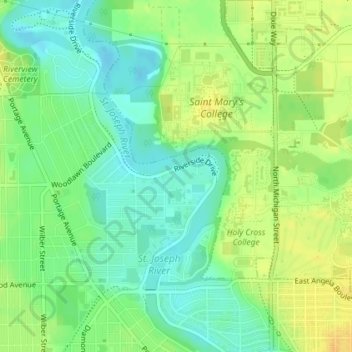
Name: Keller Park topographic map, elevation, terrain.
Average elevation: 216 m
Minimum elevation: 203 m
Maximum elevation: 230 m
Other topographic maps
Click on a map to view its topography, its elevation and its terrain.
South Bend
United States > Indiana > Saint Joseph County > South Bend
South Bend, Saint Joseph County, Indiana, 46601:46615, United States
Average elevation: 238 m