
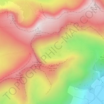
Llyn Cau topographic map
Interactive map
Click on the map to display elevation.
About this map
Name: Llyn Cau topographic map, elevation, terrain.
Average elevation: 555 m
Minimum elevation: 85 m
Maximum elevation: 878 m
Other topographic maps
Click on a map to view its topography, its elevation and its terrain.
Corris Uchaf
United Kingdom > Wales > Corris Uchaf
Corris Uchaf, Gwynedd, Wales, SY20 9BP, United Kingdom
Average elevation: 308 m