
Chester topographic map
Interactive map
Click on the map to display elevation.
About this map
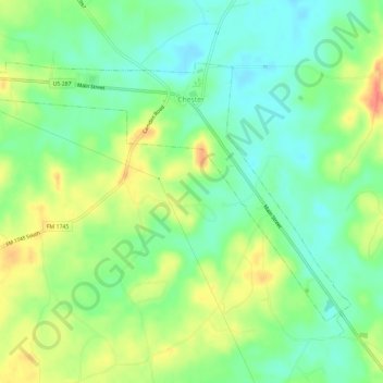
Name: Chester topographic map, elevation, terrain.
Location: Chester, Tyler County, Texas, United States (30.89715 -94.63052 30.93087 -94.57243)
Average elevation: 81 m
Minimum elevation: 59 m
Maximum elevation: 113 m