
Wheatville topographic map
Interactive map
Click on the map to display elevation.
About this map
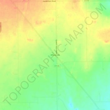
Name: Wheatville topographic map, elevation, terrain.
Location: Wheatville, Preble County, Ohio, United States (39.66811 -84.59606 39.70811 -84.55606)
Average elevation: 291 m
Minimum elevation: 264 m
Maximum elevation: 315 m