
Tsuruhu topographic map
Interactive map
Click on the map to display elevation.
About this map
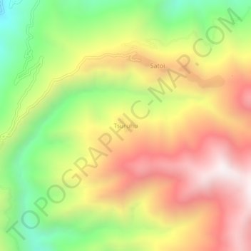
Name: Tsuruhu topographic map, elevation, terrain.
Location: Tsuruhu, Satoi, Zunheboto, Nagaland, India (25.80303 94.54623 25.84303 94.58623)
Average elevation: 1,978 m
Minimum elevation: 1,343 m
Maximum elevation: 2,585 m