
Lehigh topographic map
Interactive map
Click on the map to display elevation.
About this map
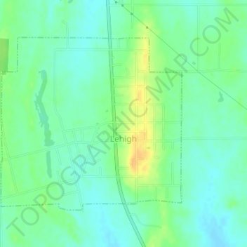
Name: Lehigh topographic map, elevation, terrain.
Location: Lehigh, Coal County, Oklahoma, 74556, United States (34.46142 -96.23264 34.48033 -96.20866)
Average elevation: 185 m
Minimum elevation: 175 m
Maximum elevation: 202 m