
Tupelo topographic map
Interactive map
Click on the map to display elevation.
About this map
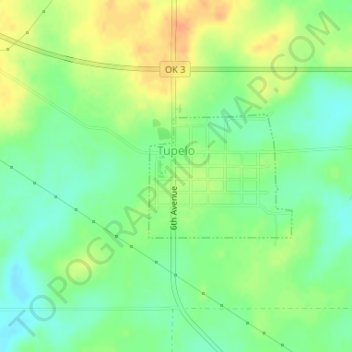
Name: Tupelo topographic map, elevation, terrain.
Location: Tupelo, Coal County, Oklahoma, United States (34.59808 -96.42671 34.60756 -96.41339)
Average elevation: 214 m
Minimum elevation: 197 m
Maximum elevation: 233 m