
Phillips topographic map
Interactive map
Click on the map to display elevation.
About this map
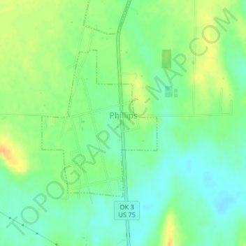
Name: Phillips topographic map, elevation, terrain.
Location: Phillips, Coal County, Oklahoma, United States (34.49703 -96.23054 34.51317 -96.21518)
Average elevation: 182 m
Minimum elevation: 168 m
Maximum elevation: 199 m