
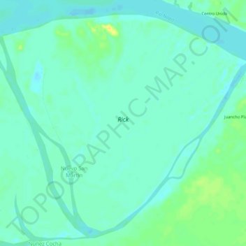
Rick topographic map
Interactive map
Click on the map to display elevation.
About this map
Name: Rick topographic map, elevation, terrain.
Location: Rick, Mazán, Province of Maynas, Loreto, Peru (-3.36011 -72.82983 -3.31521 -72.77884)
Average elevation: 85 m
Minimum elevation: 78 m
Maximum elevation: 100 m