
Tank topographic map
Interactive map
Click on the map to display elevation.
About this map
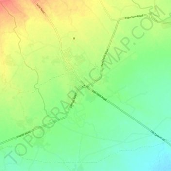
Name: Tank topographic map, elevation, terrain.
Location: Tank, Khyber Pakhtunkhwa, Pakistan (32.16969 70.34811 32.24969 70.42811)
Average elevation: 259 m
Minimum elevation: 238 m
Maximum elevation: 288 m