
Nakhleh topographic map
Interactive map
Click on the map to display elevation.
About this map
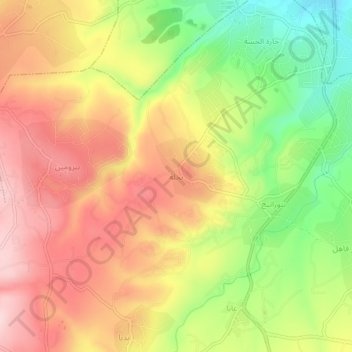
Name: Nakhleh topographic map, elevation, terrain.
Location: Nakhleh, Koura District, North Governorate, Lebanon (34.34469 35.80562 34.38469 35.84562)
Average elevation: 254 m
Minimum elevation: 123 m
Maximum elevation: 360 m