
Green River topographic map
Interactive map
Click on the map to display elevation.
About this map
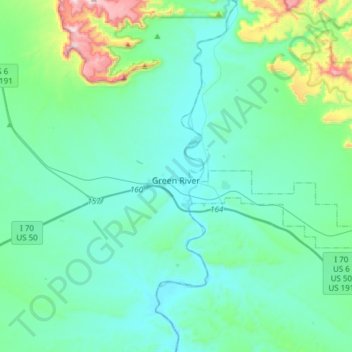
Name: Green River topographic map, elevation, terrain.
Location: Green River, Emery County, Utah, 84525, United States (38.94991 -110.30786 39.04646 -110.00398)
Average elevation: 1,349 m
Minimum elevation: 1,223 m
Maximum elevation: 2,048 m