
Panker topographic map
Interactive map
Click on the map to display elevation.
About this map
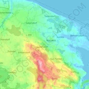
Name: Panker topographic map, elevation, terrain.
Location: Panker, Lütjenburg, Plön, Schleswig-Holstein, 24321, Germany (54.30317 10.51735 54.38134 10.59630)
Average elevation: 33 m
Minimum elevation: -7 m
Maximum elevation: 130 m