
Oud-Turnhout topographic map
Interactive map
Click on the map to display elevation.
About this map
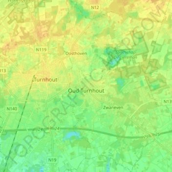
Name: Oud-Turnhout topographic map, elevation, terrain.
Location: Oud-Turnhout, Turnhout, Antwerp, Flanders, 2360, Belgium (51.27604 4.96188 51.36388 5.05783)
Average elevation: 24 m
Minimum elevation: 12 m
Maximum elevation: 34 m